KEY GMAX CAPABILITIES
A built in automatic electronic compass that accurately captures and records shooting direction to each photo or video file as you shoot it.
The capability to track and record your location, speed, direction of travel, and altitude…and more!
Shooting on the back roads of Madagascar? No sweat! GMAX automatically stores all your course data in its 4GB internal flash drive at specific intervals that you can set. As an example, GMAX can capture and store more than 170 days of continuous trekking at intervals of 1-record-per-second! Phenomenal!
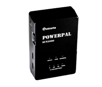
LCD screen
GMAX's bright, amply-sized, back-lighted LCD screen is easy to read at 38.5×16mm/1.52 x0.63 inches.
The extraordinarily well designed, new GMAX also lets you check your geotagging coordinates in real time, right on its LCD screen, which also can display signal strength and the number of satellites being referenced.
GMAX's LCD can display this…and more:
- GPS location (longitude and latitude)
- Altitude - even inside a moving airplane, train, car, or helicopter!
- Time and date (both UTC and local time are available!)
- Speed
- Temperature
- Compass and Shooting direction
- Heading (useful for sail, flight and trekking)
- Attitudes of Pitch and Roll
- Satellite signal acquisition status
- Power status
Indoor lock function
When you enter places where there is no GPS signal, GMAX's BDS/GPS dual positioning system keeps you covered. If no signal is available GMAX retrieves your last recorded location to the image you take!
Feeling “Up in the Air”?
Engage either GMAX's built-in barometric altimeter (which is adjustable!) or its GPS altimeter to record accurate altitude readings (mountain climbers, snow skiers, hang glide enthusiasts, pilots, air travelers - take note!).
Power Conservation and Battery Drain
GMAX's powerful 1900mAh lithium battery, coupled with “smart technology” insures no energy is drained from your camera battery! A single charge supports 18 hours of *continuous* data acquisition...leaving your camera battery to do what it was designed to do: power your camera! But, if you do manage to use up all of GMAX's 18 hours of on board power, it will automatically switch to use your camera battery as backup…so you can keep right on shooting! And you can always check the battery strength on the GMAX’s LCD!
To further conserve power, switch on GMAX’s “Auto” mode, which puts GMAX to “sleep” and wakes it up every time you turn your camera on or off. Otherwise, the receiver is always on standby in Auto mode and this make GMAX reacquires its satellite signals in seconds, not minutes!
OTHER APPLICATION
Bluetooth technology applied
Download “GMAX-Remoter” App from ”App store” and install it to your iPhone and you can use it as a wireless remote to control camera focus and shutter release!
Timer release
Use your GMAX as an external timer for shutter release. Shooting start time, end time and interval times can all be set on your GMAX!
Accurate Clock
Use GMAX as an extraordinarily accurate, independent clock with automatically adjusting 0.1sec accuracy!
SPECIFICATION
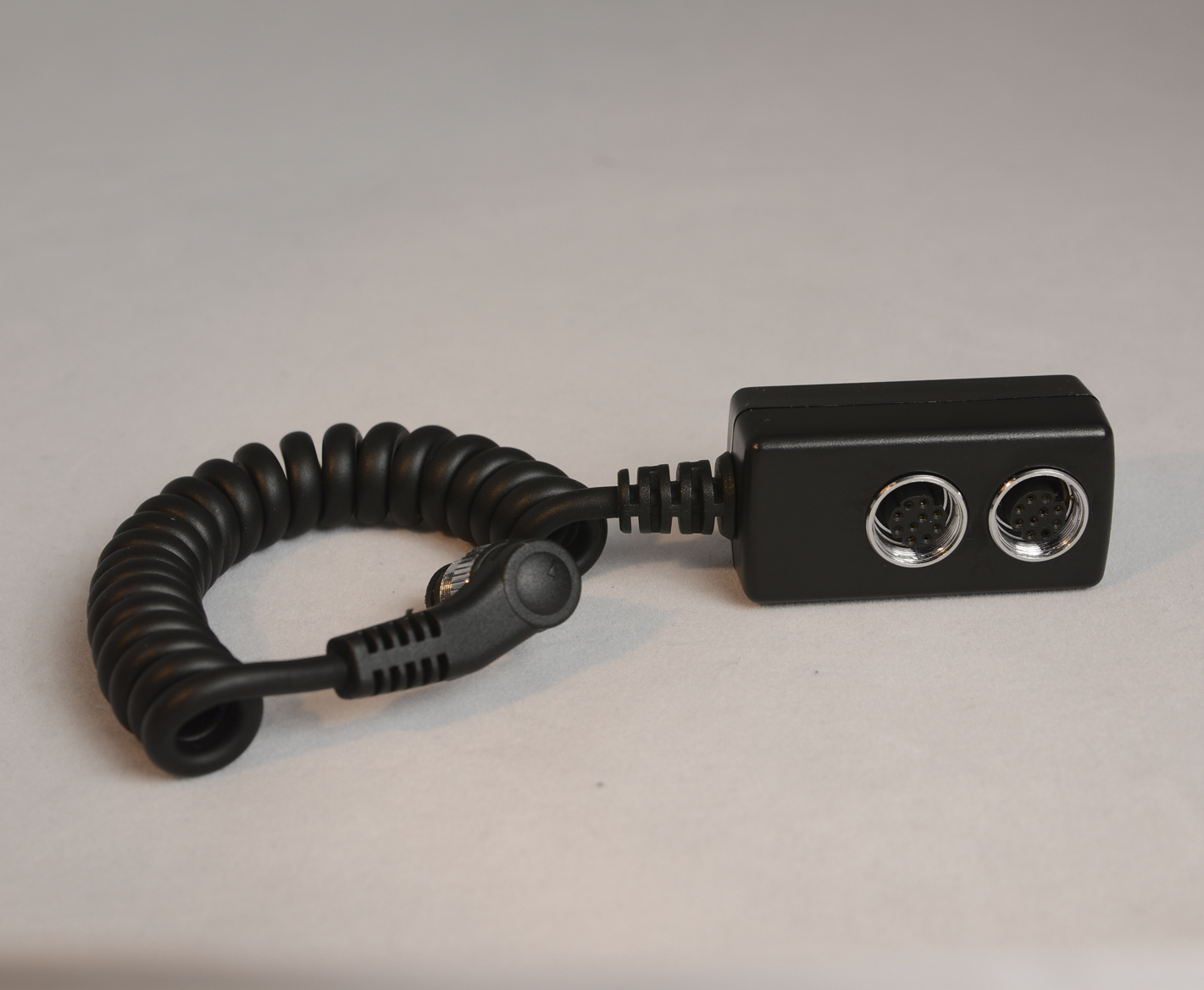
Compatible cameras Nikon DSLR & Mirrorless cameras
*Cameras equipped 10pin terminal or accessory terminal for GPS unit.
* Cameras doesn’t support GPS unit
<LOG> mode available
Geotagging Images Latitude, longitude, elevation, shooting direction, time (UTC)
Internal memory 4GB
Reception frequency L1, 1575.42 MHz B1, 1561.098MHz
Data format NMEA 0183
Data update rate Once per second
Digital compass Tri-axial geomagnetic sensor and tri-axial acceleration sensor used to calculate direction
Power supply 1900 mAh Li-ion
Dimensions 55 x 75 x 45 mm /2.2 x 3.0 x1.8 in. (W x H x D)
Weight Approx. 110 g / 3.8 oz.
Operating temperature -40°C to +80°C /-40° F to 176° F
Operating humidity 5% to 95%, Non condensing
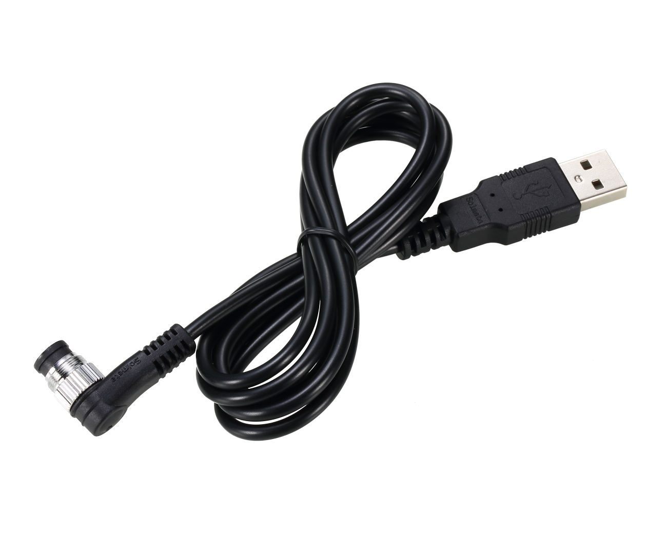
USER MANUAL
For more details, please download Solmeta GMAX receiver User manual.